David Figueira Bourton documents his experience of Ramble London, and offers insight into this vast metropolis that we call home.

Ramble London is a set of self-guided walks produced by members from the Department of Geography at UCL. Initiated in 2014, the project is an assemblage of material collected from Professor Richard Dennis’ research and teaching interests. Professor Dennis had taught historical geography at UCL for forty years prior to retiring in 2014 and leaves these walks as part of his legacy in the department. The suggestion of a website for the project was initially devised by Caroline Bressey, James Kneale and Nick Mann with grant funding from the Faculty of Social and Historical Sciences. Furthermore, to quote from the founders of Ramble London, ‘the website and project were produced by the other author Alexandra Gomes, with help from three postgraduate students (Eleanor Lowenthal, Joe Thorogood, and Charlotte Jones), Olly Zanetti (who researched the question of audiences and produced text for the brochures), the project team – and of course from Richard Dennis himself!’.
I was fortunate enough to come across the project on UCL’s website during lockdown, and decided that after my period in quarantine, I could use my time before the beginning of Term One to explore areas of London that I haven’t spent much time in, or at least walked through without really appreciating the history of the built environment. Therefore on Monday 31st August 2020, on a particularly quiet bank holiday, I got on the Thameslink and ventured into London to undertake Walk Four – City & Spitalfields.
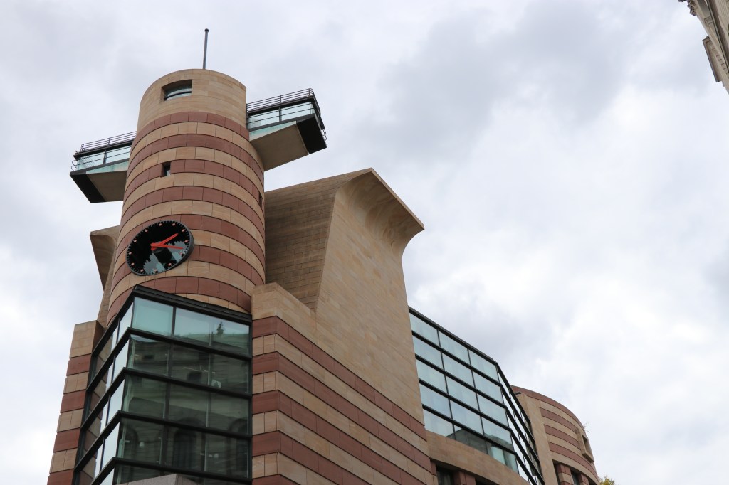
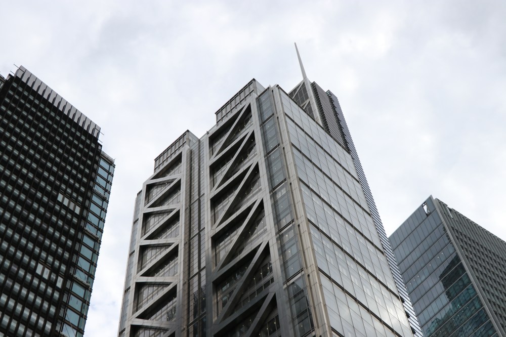
I began the walk at around 14:00 in the afternoon with my starting point just outside Bank station. It was here that I began to follow the direction from the map and brochure which encouraged me to look at the built environment in a new level of detail. Spending time quietly comparing the architecture of the Bank of England, the Royal Exchange and Mansion House with the postmodern appearance of No. 1 Poultry, highlighted the variation in architecture that is testament to the evolving nature of the city. The brochure provided alongside the walk was also notably insightful in explaining the conflicted history of planning on the site of No. 1 Poultry.
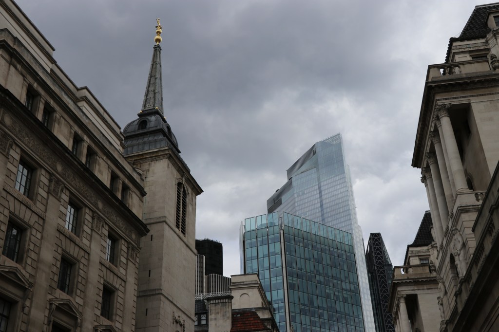
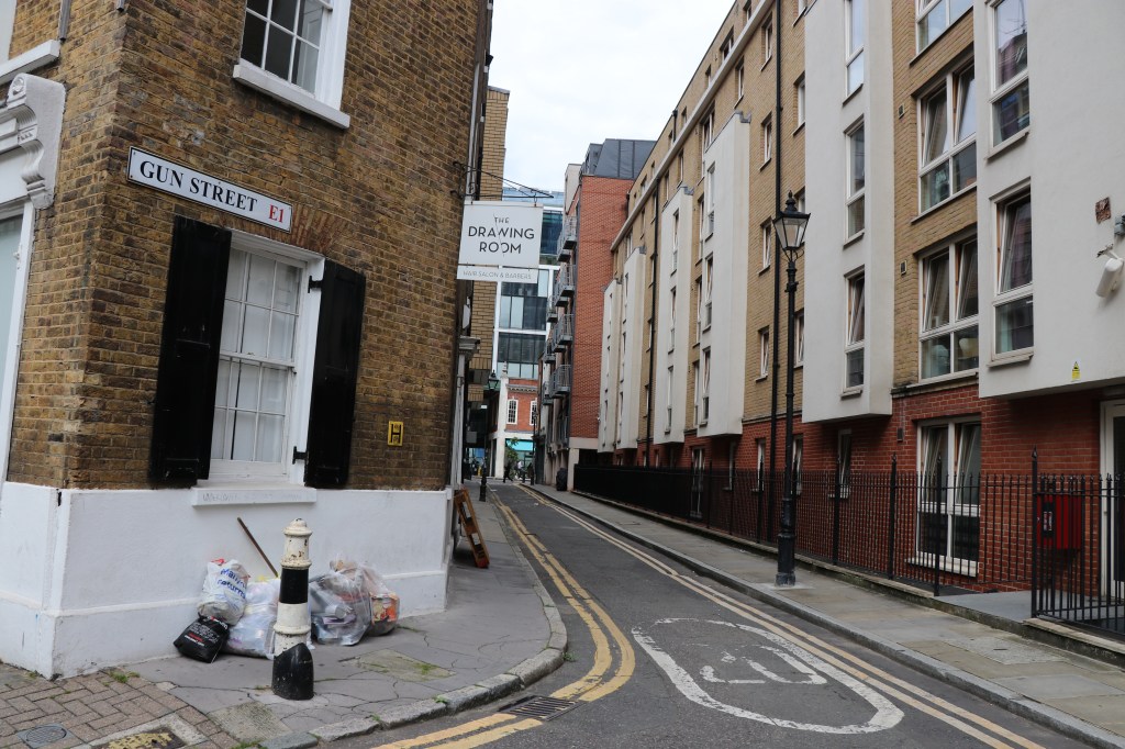
The contrast of old and new was a common theme on the walk, with the glass edifices of Tower 42 and the Stock Exchange protruding over Drapers Hall. I also found it interesting to learn about places that I never knew existed such as the former Broad Street station – demolished back in 1986 – which is now the site of commercial office spaces as part of ‘The Broadgate’ development. Moreover, learning about the Jewish history of the area was fascinating: Sandy’s Row Synagogue, the first separate Jewish synagogue to be built in the East End by Dutch Jews in 1874 that still stands today; 40 Gun Street which was the site of the first meeting by the Hebrew Socialist Union in 1876. Walking through the street today, this history appears to have vanished without a trace and replaced by modern flats. After walking up Gun Street, I finally reached Old Spitalfields Market and headed towards Christ Church. This was around halfway through the walk, where by chance I happened to bump into a good friend – sometimes London feels like a very small city.
In order to not give away too many of the attractions found along the walk, I’ll just briefly outline some of the places that I found interesting whilst walking towards the East End from Old Spitalfields Market: Fashion Street, Whitechapel Gallery, London Jamme Masjid Mosque, Princelet Street and Commercial Street. I found these places particularly intriguing as they demonstrated clearly both the efforts to conserve, and the vast changes to the built environment as a result of gentrification that has swept across the capital. This was especially fascinating when I was able to couple the brochure with my observations along the walk that explored the ethnic history of the area and redevelopment of certain buildings.
I would deeply encourage anyone in London, especially students who have had their ability to conduct fieldwork this year hindered due to COVID-19, to make the time to go on one of these walks and explore London through new eyes. For more information, check out the Ramble London website where you can print out a map and brochure for each walk: https://www.ucl.ac.uk/ramble-london/.
Note: Thank you to James Kneale for providing precious information regarding the origin of Ramble London.
